ERIC KRAUSE
In business since 1996
- ©
Krause House Info-Research Solutions -
_____________________________________________________________________________________
ERIC KRAUSE REPORTS
MY HISTORICAL REPORTS
PUBLISHED ON THE INTERNET
Krause House Pages,
Website Design, and Reports © by
Eric Krause, Krause
House Info-Research Solutions (© 1996)
webmaster:
krausehouse@krausehouse.ca
© Krause House
Info-Research Solutions
MAJOR UNITED STATES RESEARCH TRIPS SERIES
RESEARCH TRIP ~ HISTORIC ROUTE 66
Friday, March 16, 2007 - Sunday, April 22, 2007
A
HISTORY OF THE
VITRIFIED BRICK ROAD
-----
Route 66: A History of the Vitrified Brick Road, By Eric
Krause -----
Based on the Journal and Accompanying Photographs of Lynda Krause, "Route 66", Tour 2007
ILLINOIS
THE MOTHER ROAD
(288 Miles)
 |
 |
 |
 |
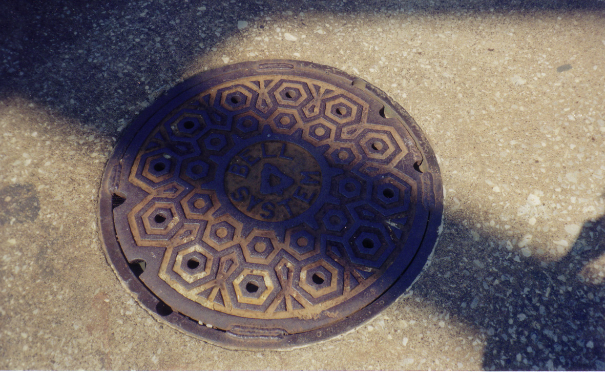 |
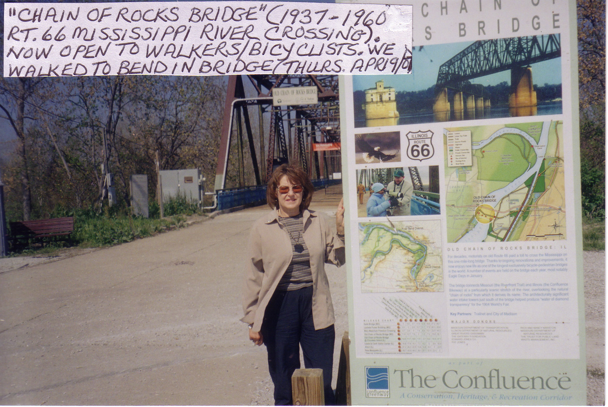
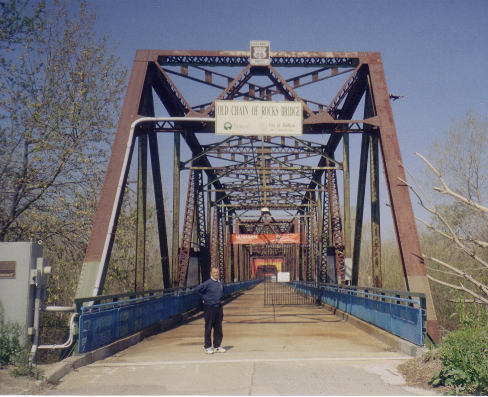
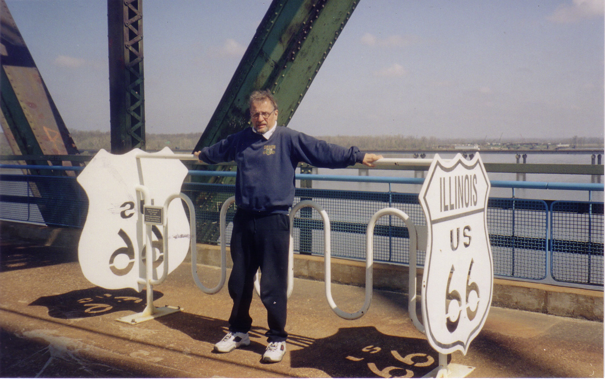
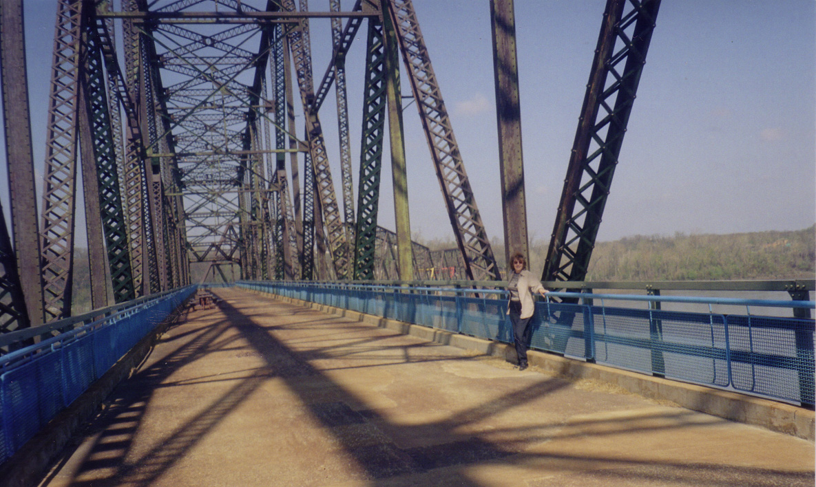
| 1. Madison | 2. Madison |
3.
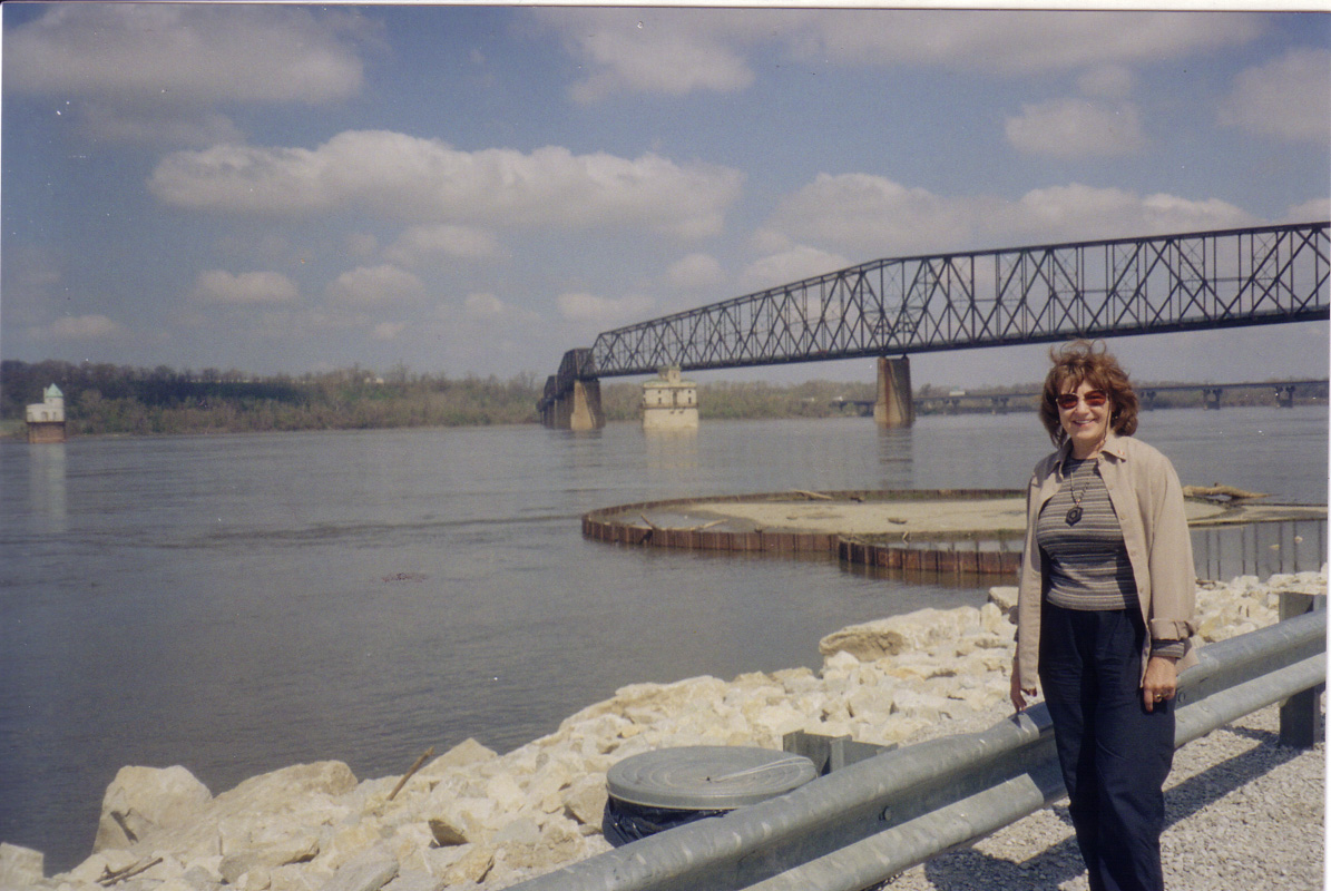
Madison:
Border between Illinois and Missouri |
4. Madison | 5. Madison |
 |
 |
 |
 |
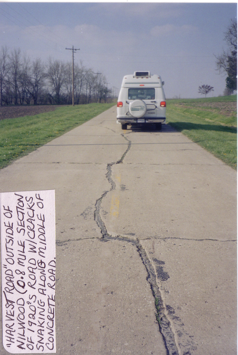 |
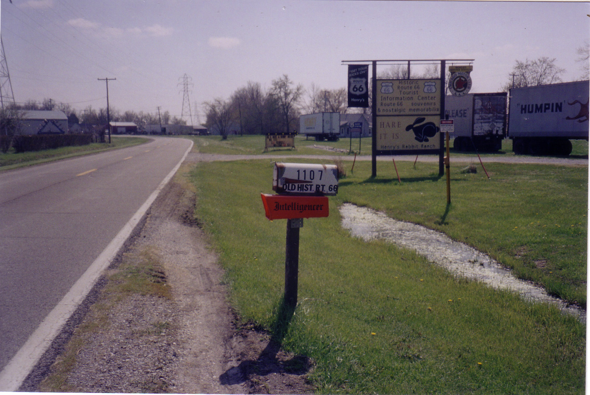
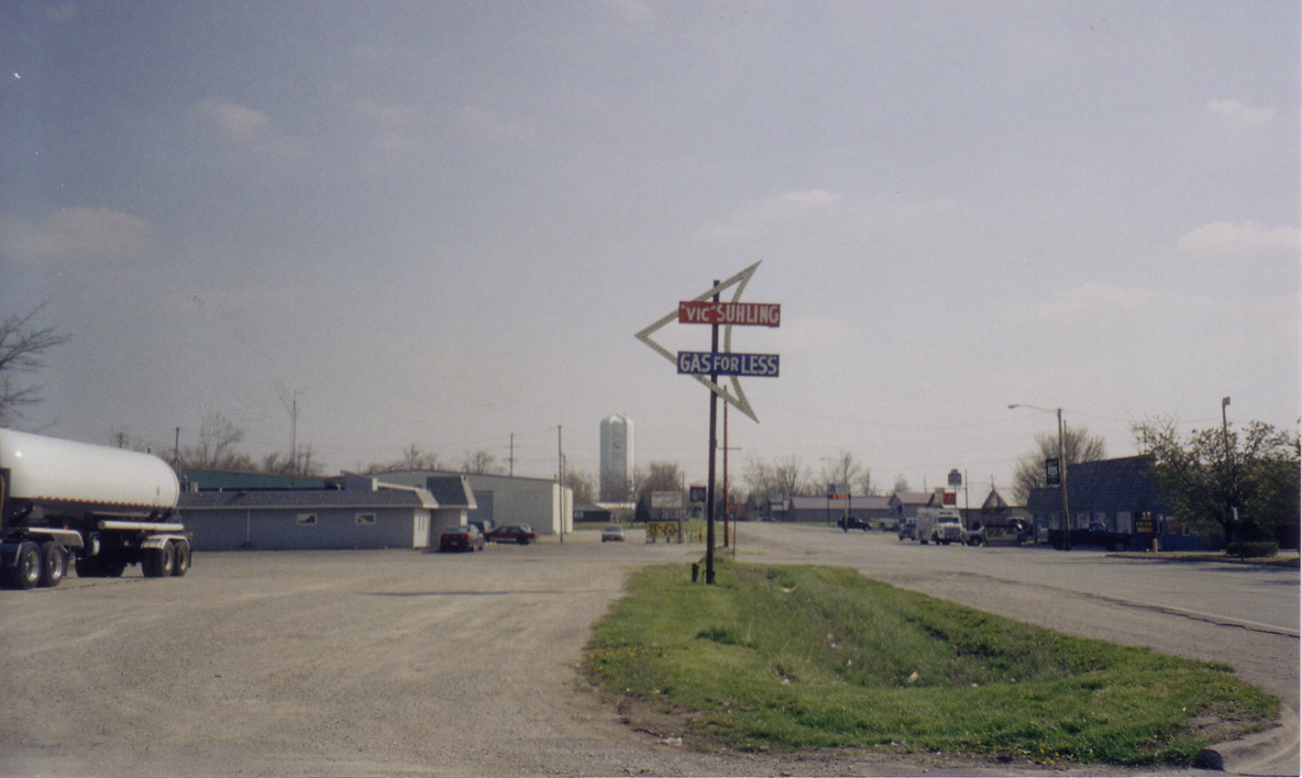
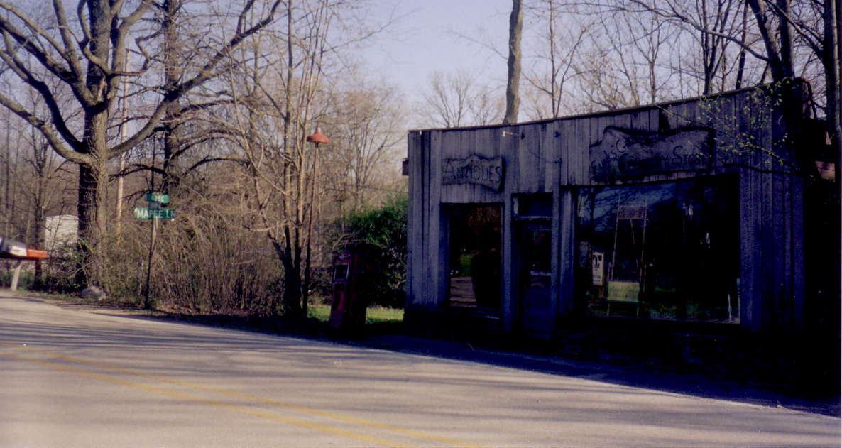
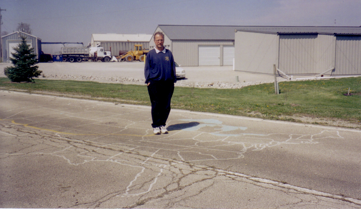
| 6. Madison | 7. Staunton | 8. | 9. Near Nilwood | 10. Near Nilwood |
 |
 |
 |
 |
 |
| 11. Near Nilwood | 12. Near Nilwood |
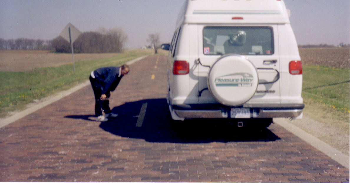
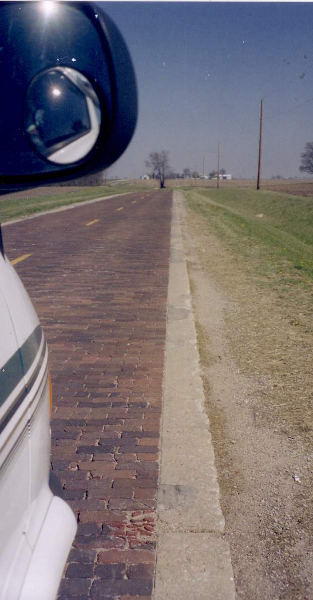
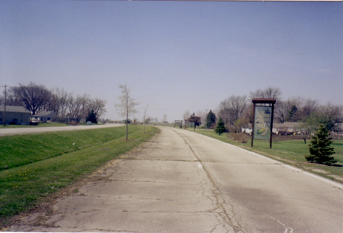
13.
Between Chatham & Auburn |
14.
Between Chatham & Auburn |
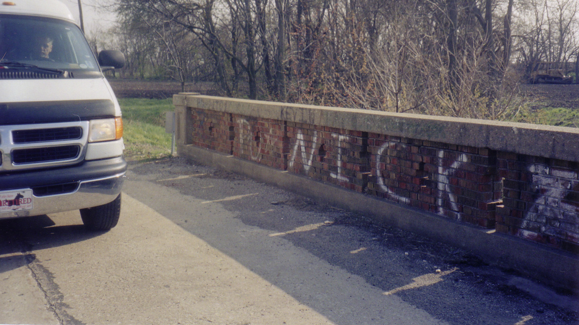
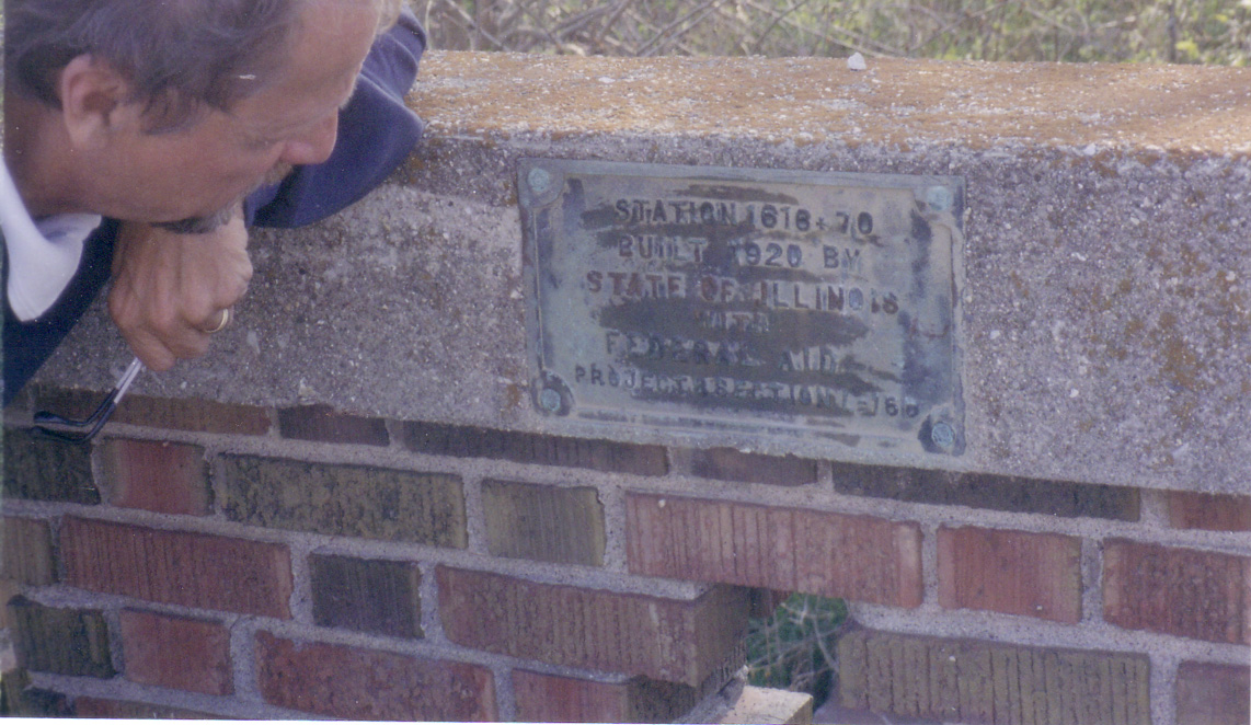
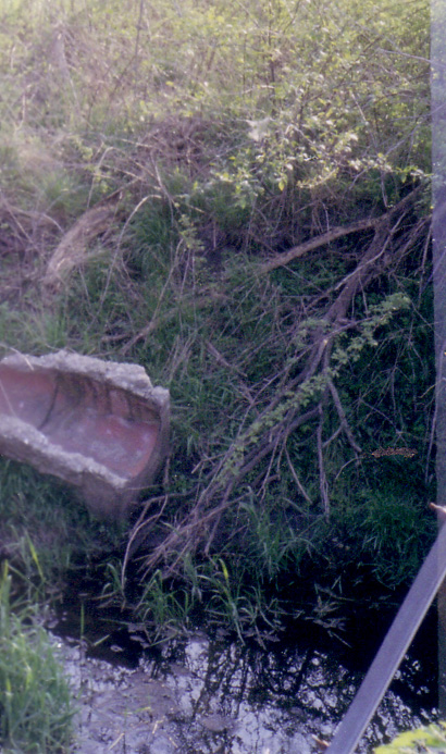
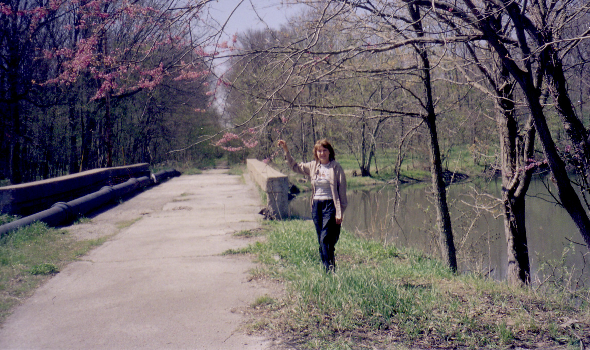
15.
Between Chatham & Auburn, Snake Bridge over Lick Creek |
 |
 |
 |
 |
 |
|
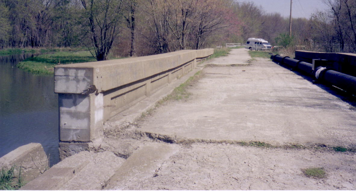
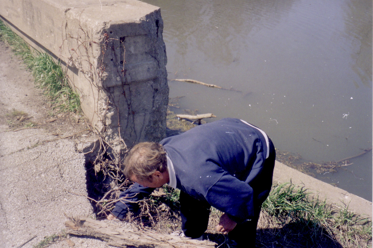
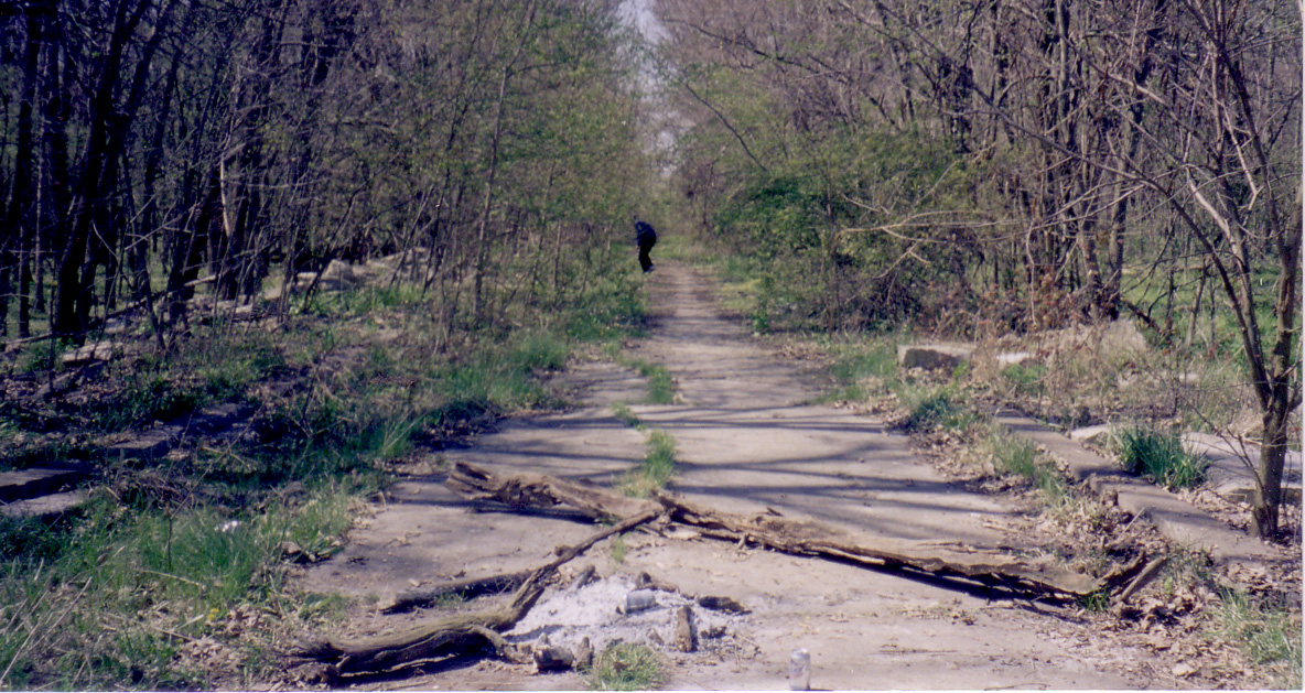
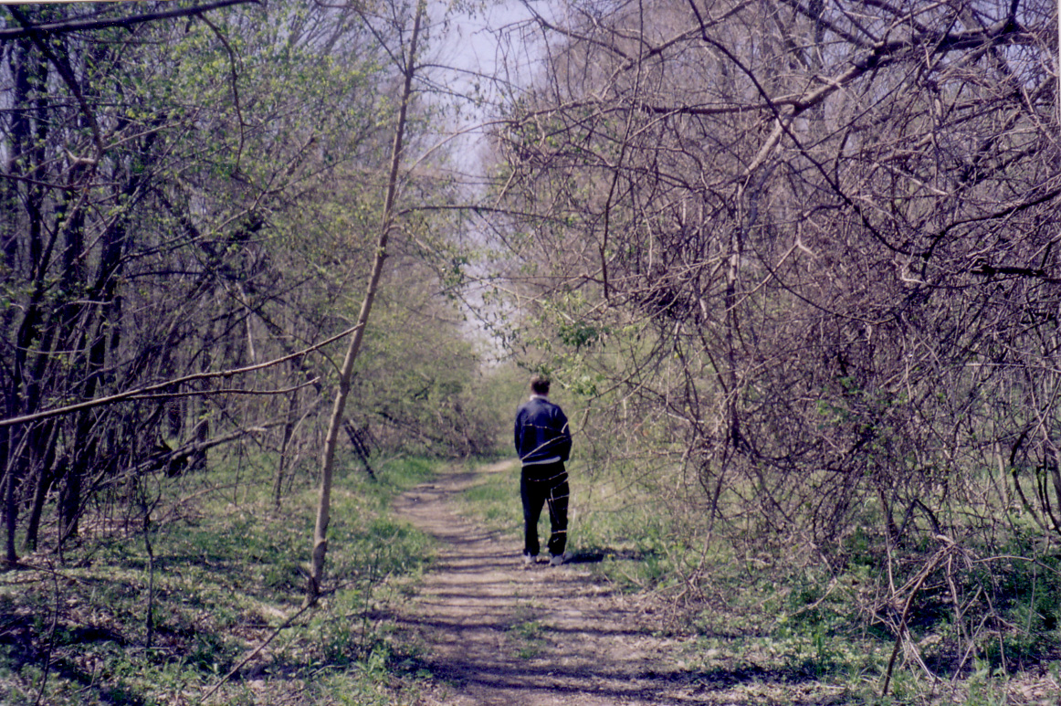
16.
Between Chatham & Auburn, Snake Bridge over Lick Creek |
17.
Between Chatham & Auburn, Snake Bridge over Lick Creek |
18.
Between Chatham & Auburn, Snake Bridge over Lick Creek |
19.
Between Chatham & Auburn, Snake Bridge over Lick Creek |
20.
Between Chatham & Auburn, just off Snake Bridge over Lick Creek |
 |
 |
 |
|
 |
|
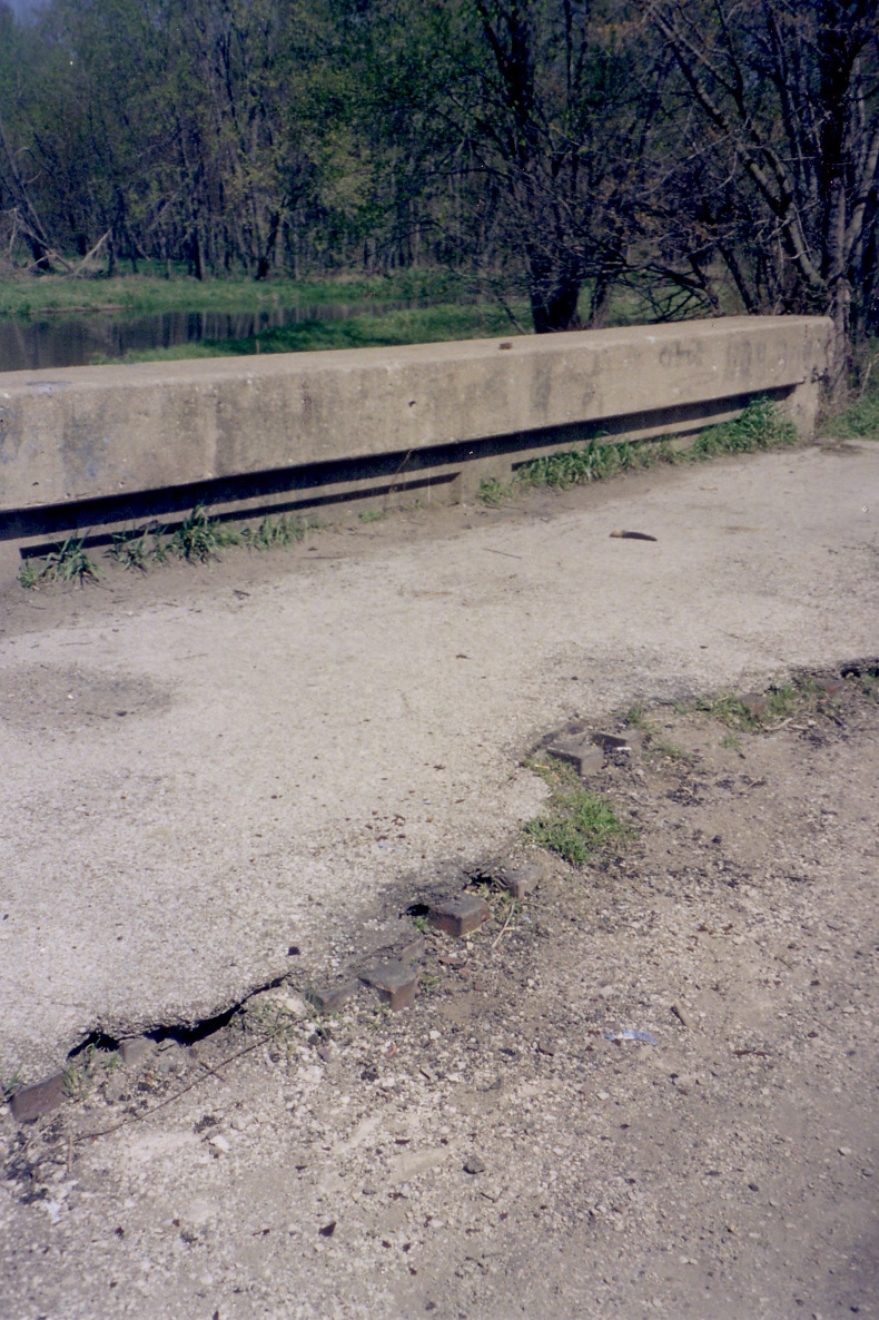
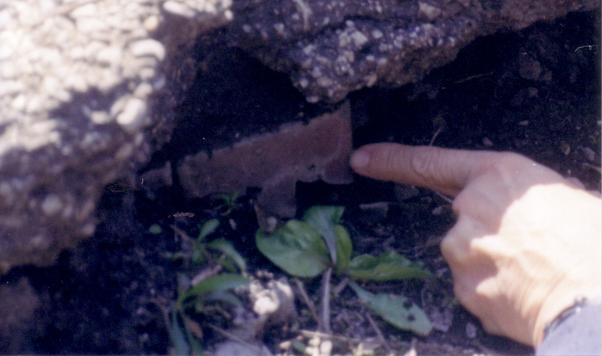
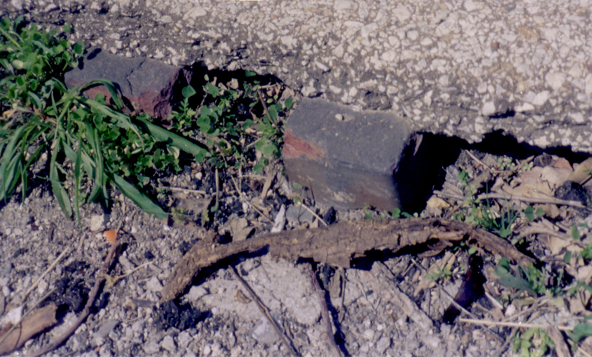
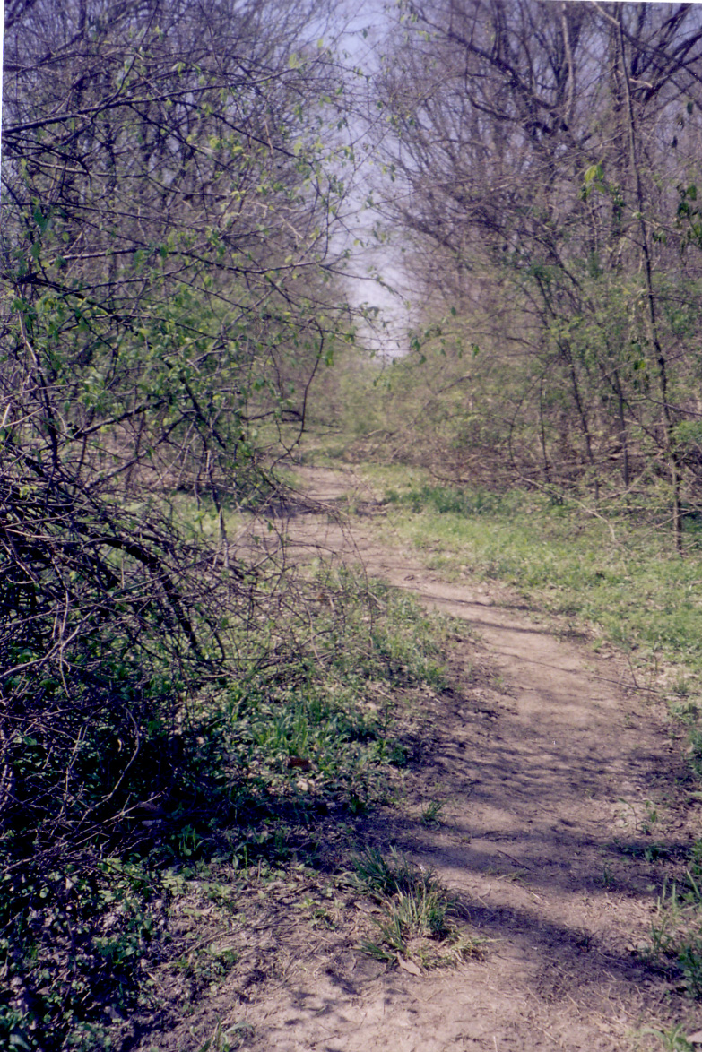
21.
Between Chatham & Auburn, just off Snake Bridge over Lick Creek |
22.
Between Chatham & Auburn, just off Snake Bridge over Lick Creek |
23.
Between Chatham & Auburn, just off Snake Bridge over Lick Creek |
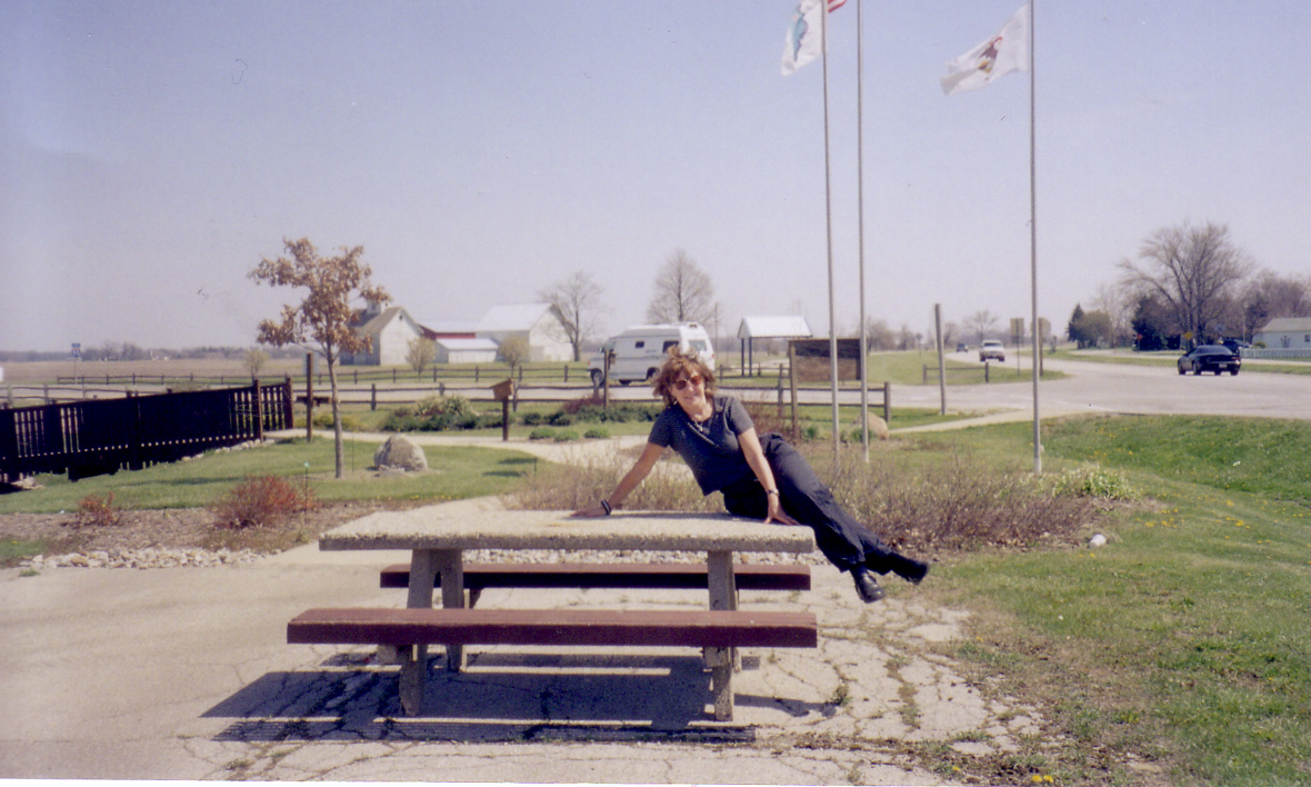
24. | 25. Funks Grove |
 |
 |
 |
 |
 |
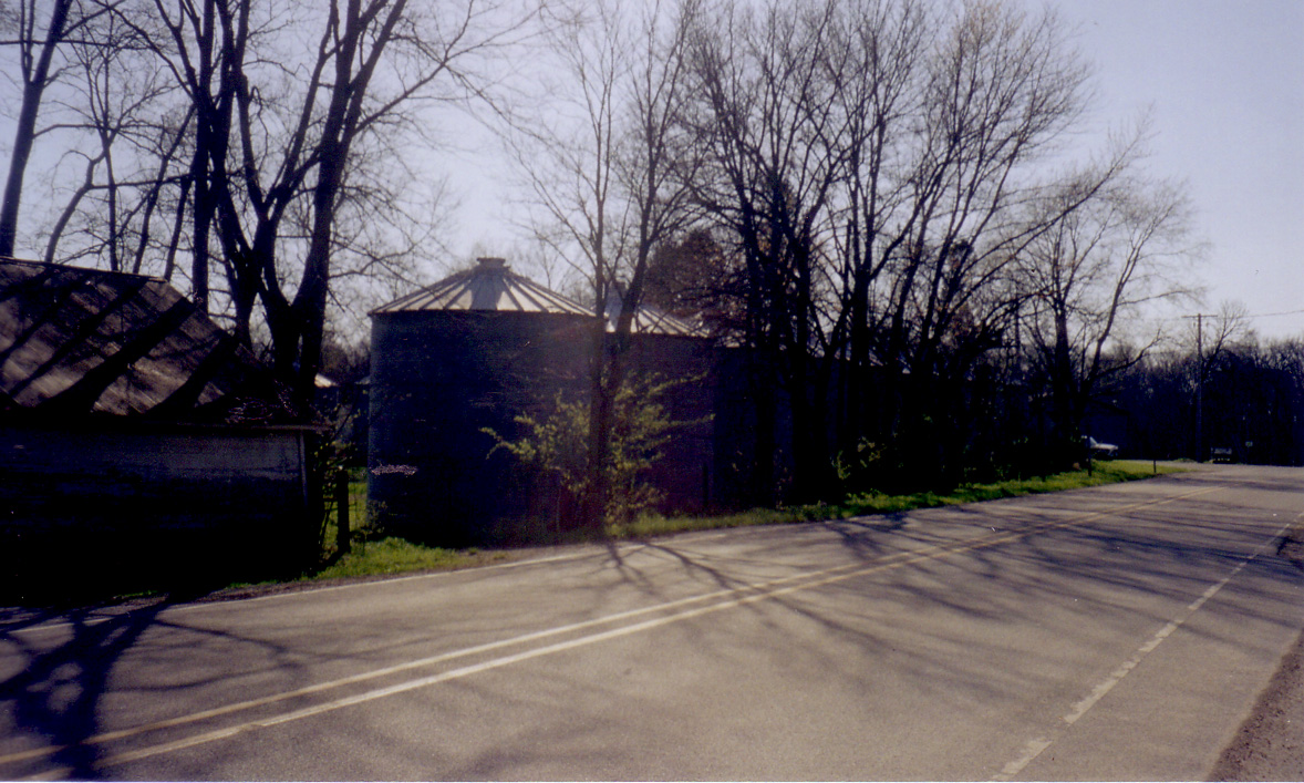
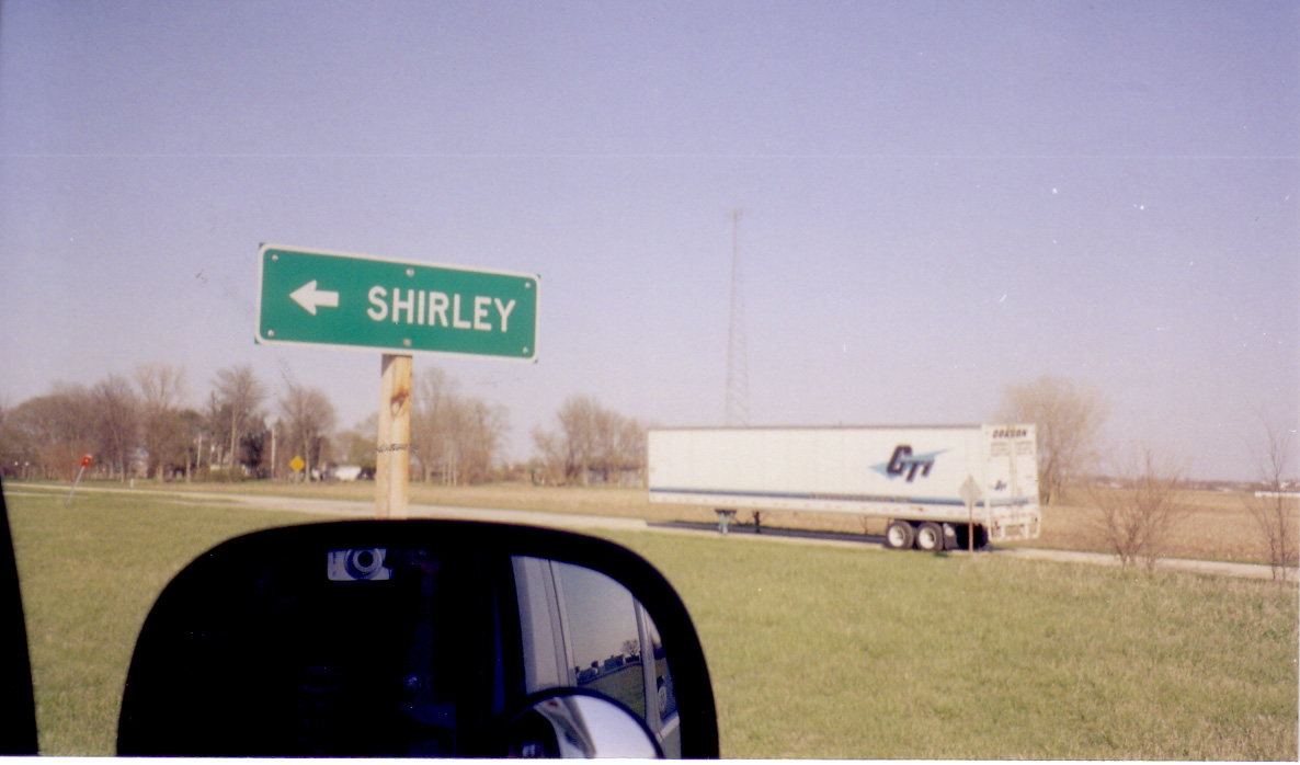
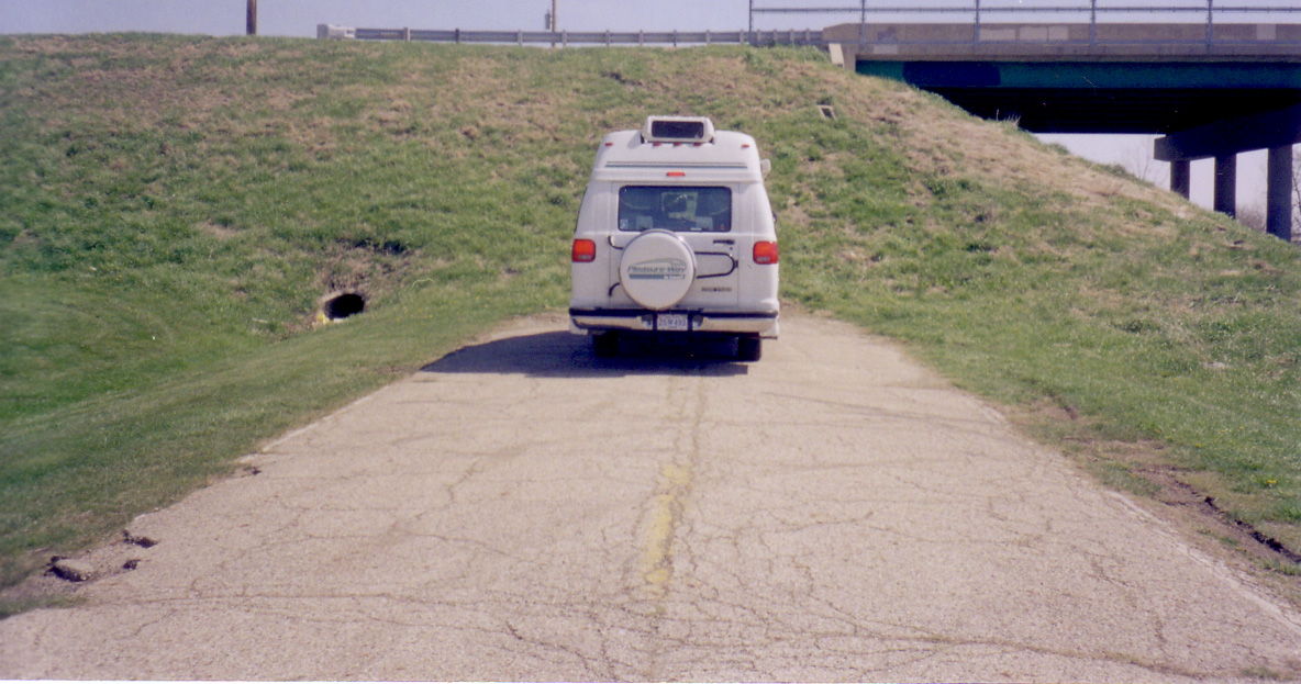
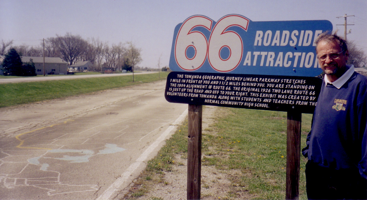
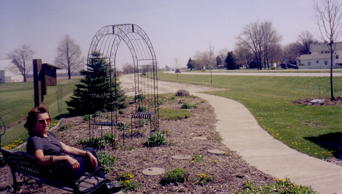
| 26. | 27. Shirley | 28. | 29. Towanda | 30. Towanda |
 |
 |
 |
 |
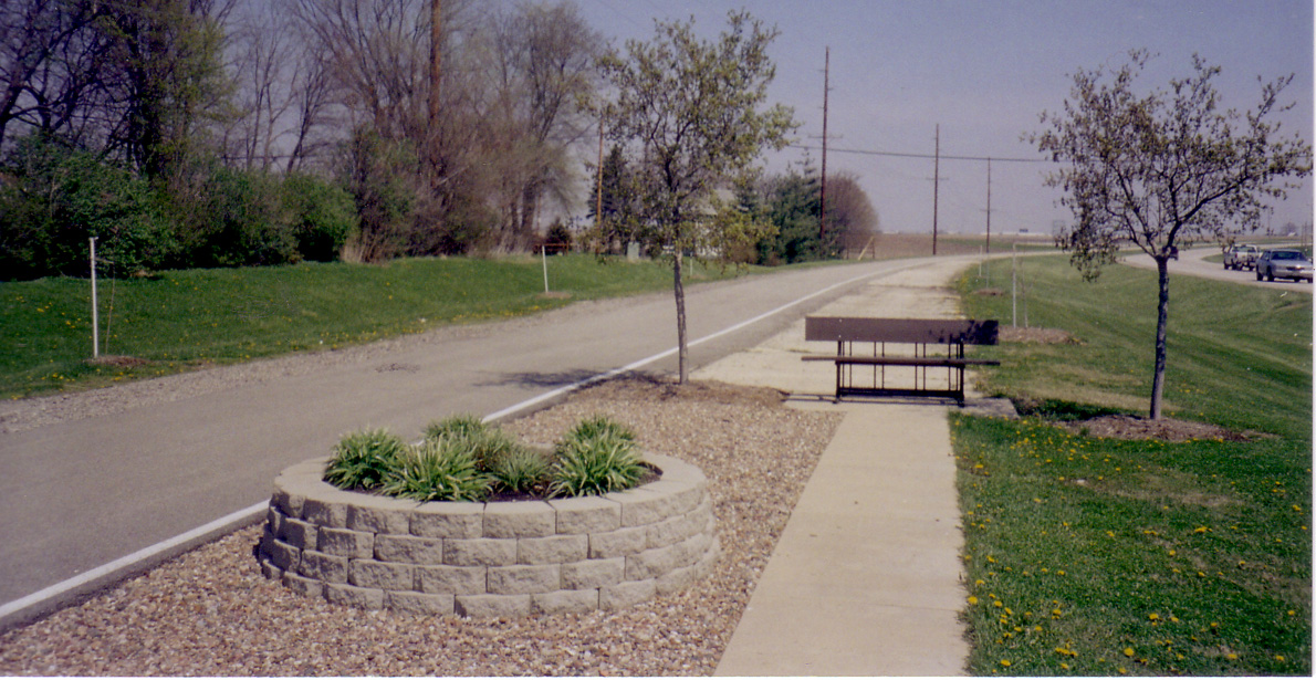 |
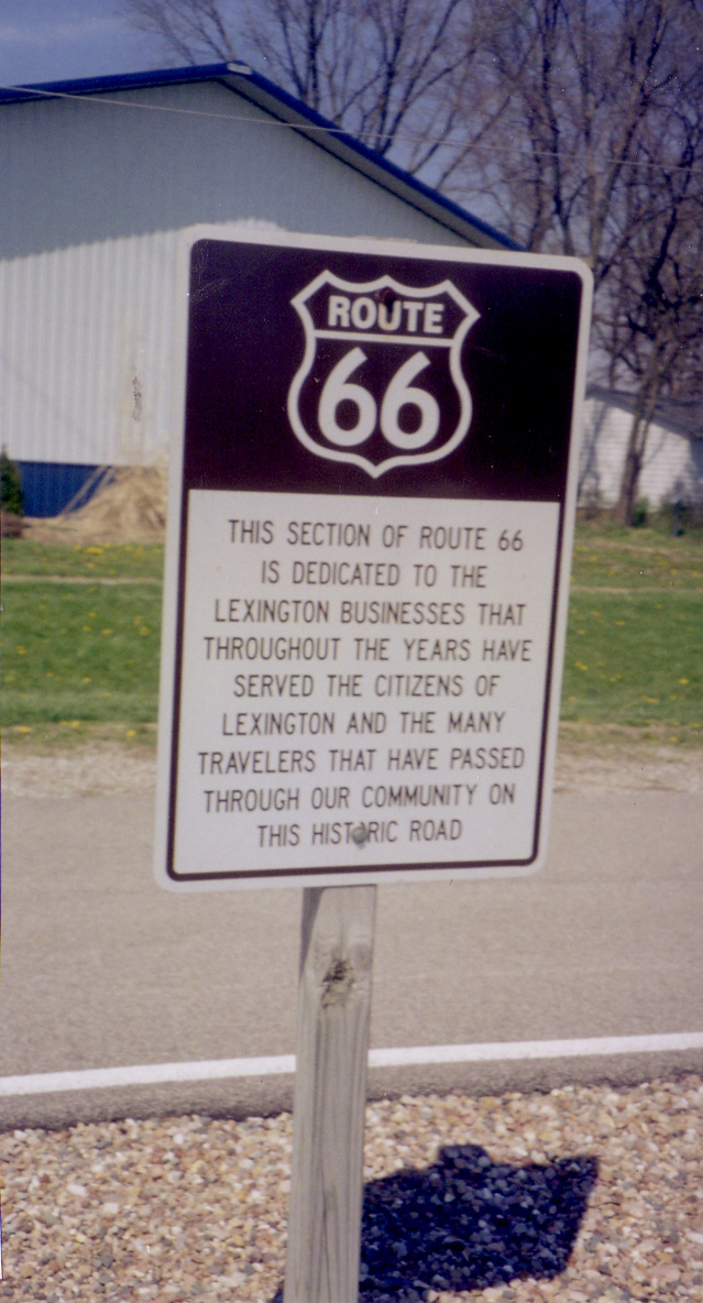
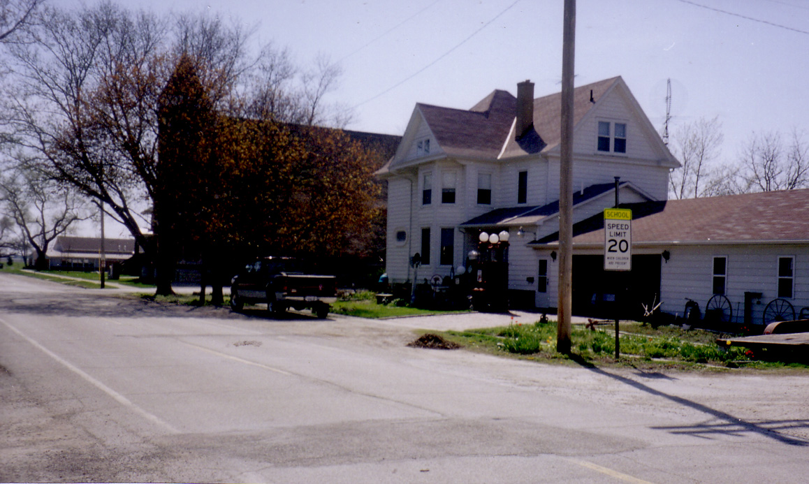
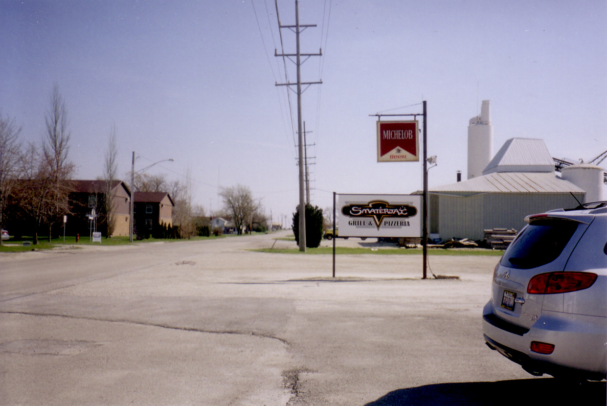
| 31. Towanda | 32. Towanda | 33. Towanda | 34. Lexington | 35. Lexington |
 |
 |
 |
 |
 |
| 36. | 37. Dwight | 38. Dwight | 39. Elwood | 40. Wilmington |
 |
 |
 |
 |
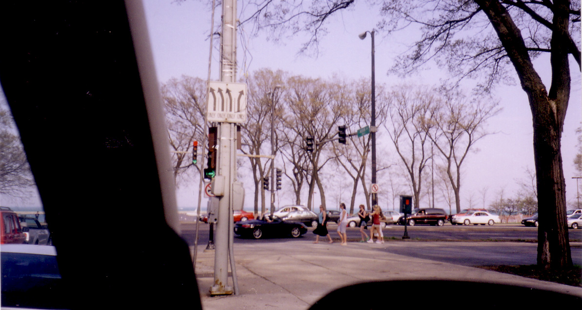 |
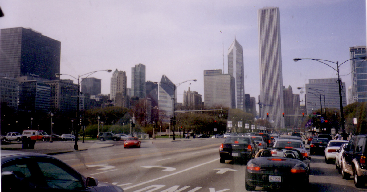
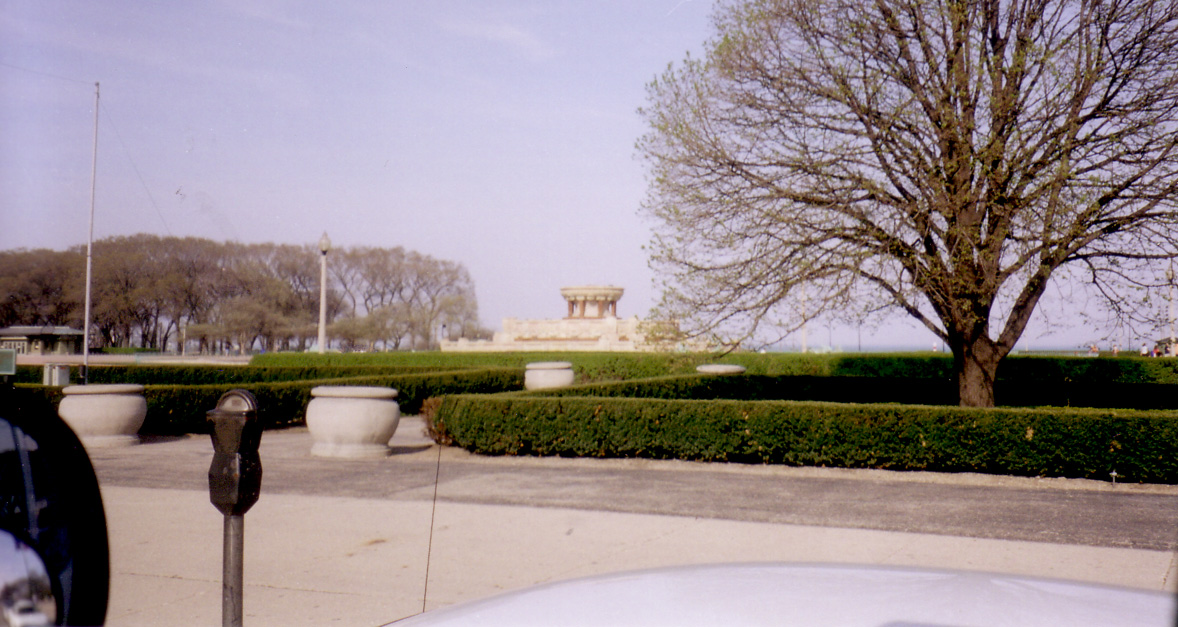
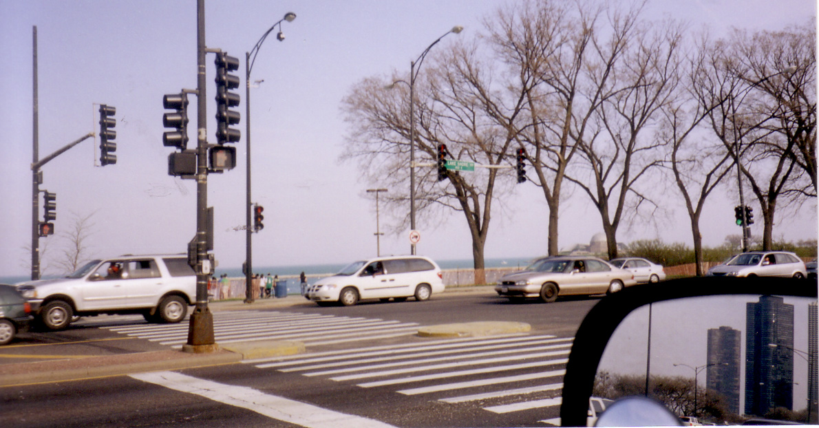
| 41. Lyons | 42. Chicago | 43. Chicago | 44. Chicago | 45. Chicago |
From September 2003
Research Trip to Illinois and Missouri
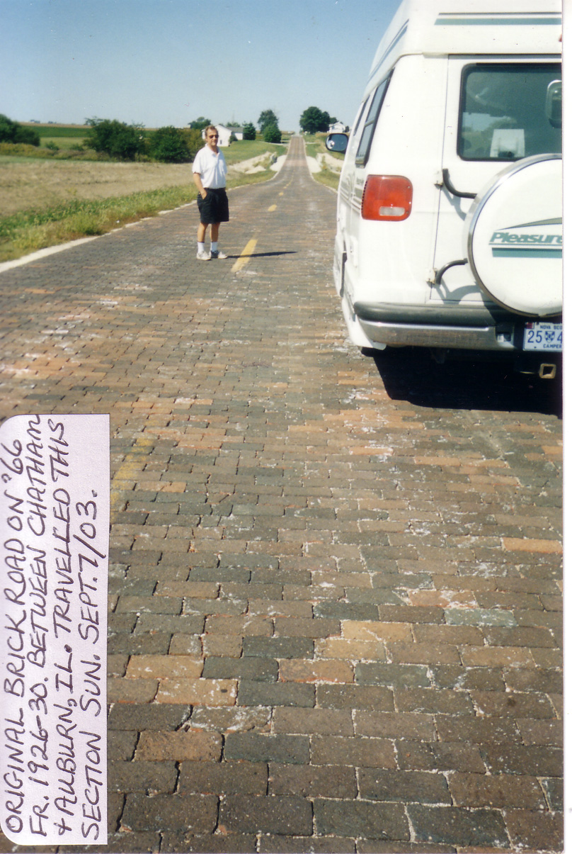 |
| 1.
Between Chatham & Auburn |